ARNK

LIH

Lihue Airport21.9744° N 159.3371° WLihue, Kauai, United States

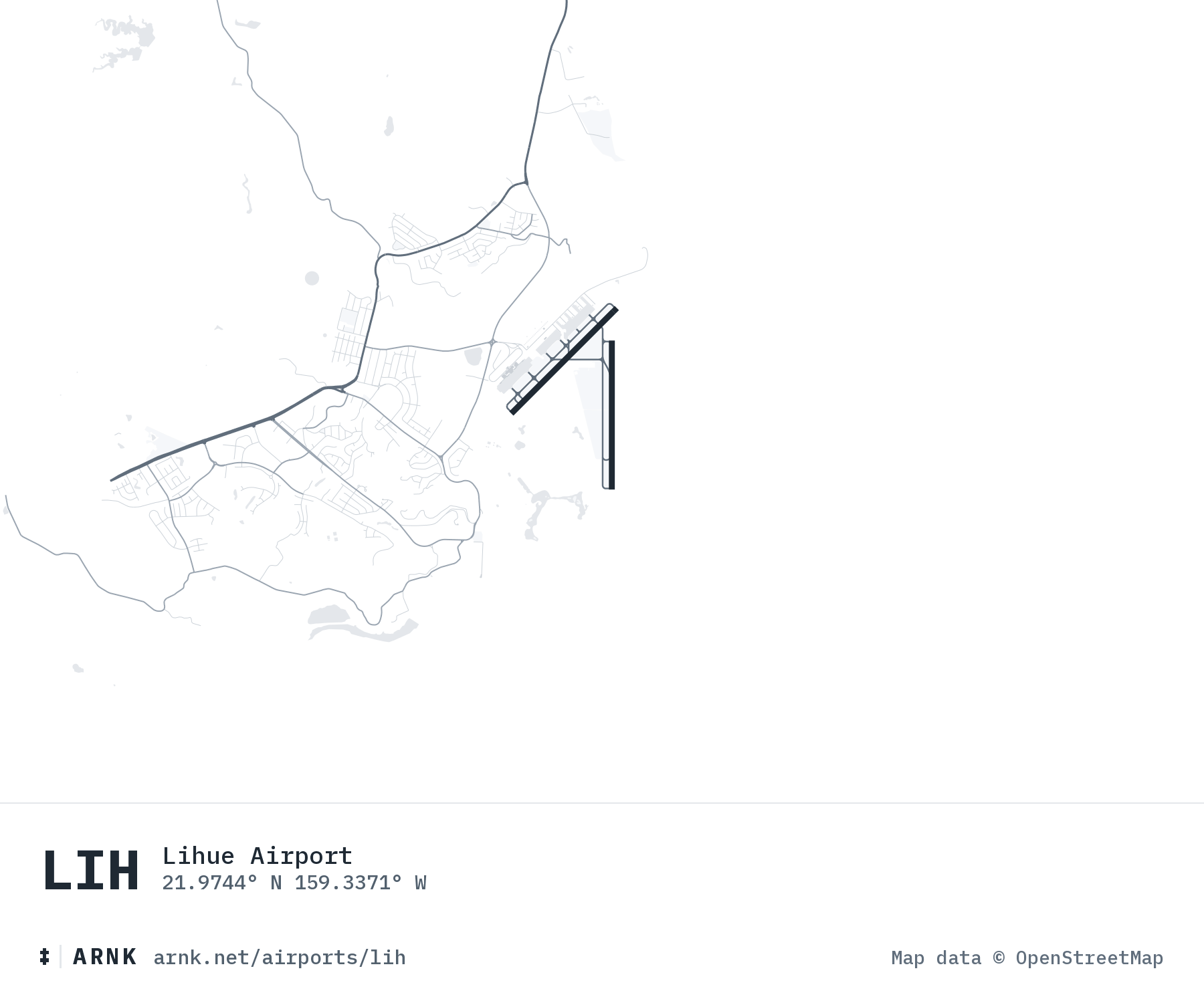
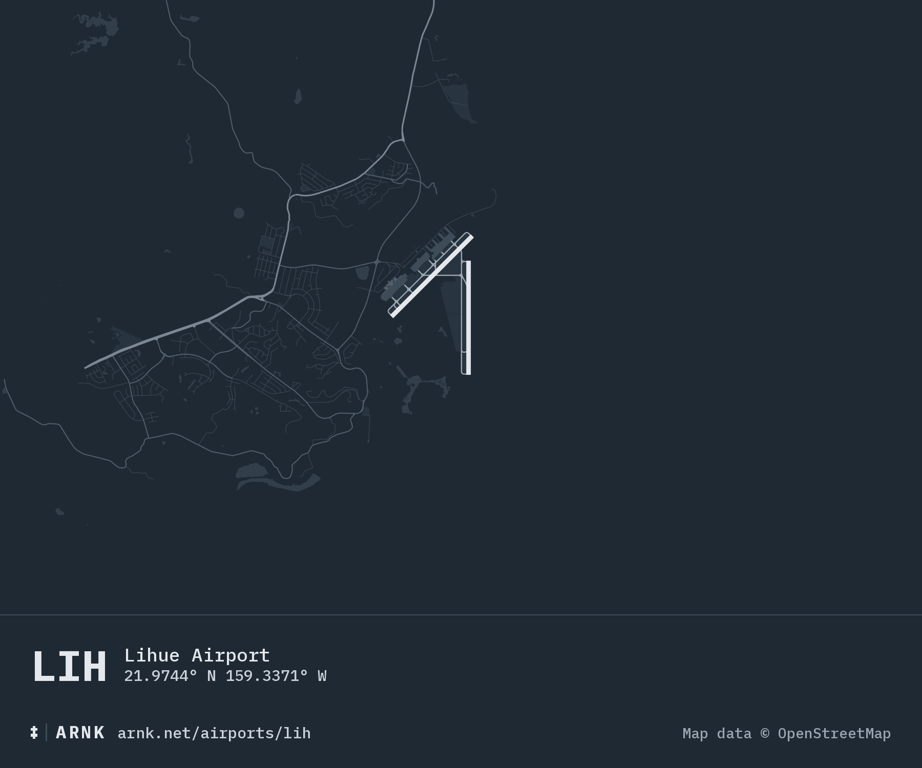
Lihue Airport: runways and surrounding roadsLihue Airport: runways and surrounding roads
Map data from OpenStreetMap

METAR (right now)observed , every hour

METAR PHLI 150453Z 06018G25KT 10SM -RA SCT025 BKN030 OVC036 24/20 A3015 RMK AO2 PK WND 07026/0356 RAB0358 SLP206 P0000 T02390200 $
Flight rules
MVFR
marginal visual
Wind
18 kt
from 60°, gusts 25
Visibility
10+ mi
unrestricted
Temperature
24 °C
75 °F
Dew point
20 °C
humid, 79% humidity

Sky Overcast at 3,600 feet, broken at 3,000 feet, scattered at 2,500 feet. Ceiling 3,000.

TAF (forecast)issued , through

TAF PHLI 142324Z 1500/1524 06016G24KT P6SM VCSH SCT025 BKN050 TEMPO 1500/1504 5SM -SHRA BKN020 BKN030 OVC040 FM150500 05020KT P6SM VCSH SCT030 BKN050 FM152000 06015G25KT P6SM VCSH SCT030 BKN040
Column width is hours, HST. The band is flight rules: visual, marginal, instrument, low instrument, from light to dark.
  1. to
    VFR
    Showers of nearby. Scattered at 2,500, broken at 5,000. NE 16, gusts 24. 6+ mi.
  2. to
    VFR
    Showers of nearby. Scattered at 3,000, broken at 5,000. NE 20. 6+ mi.
  3. to Sun
    VFR
    Showers of nearby. Scattered at 3,000, broken at 4,000. NE 15, gusts 25. 6+ mi.

2026