ARNK

KOA

Ellison Onizuka Kona International Airport at Keāhole19.7388° N 156.0456° WKailua-Kona, United States

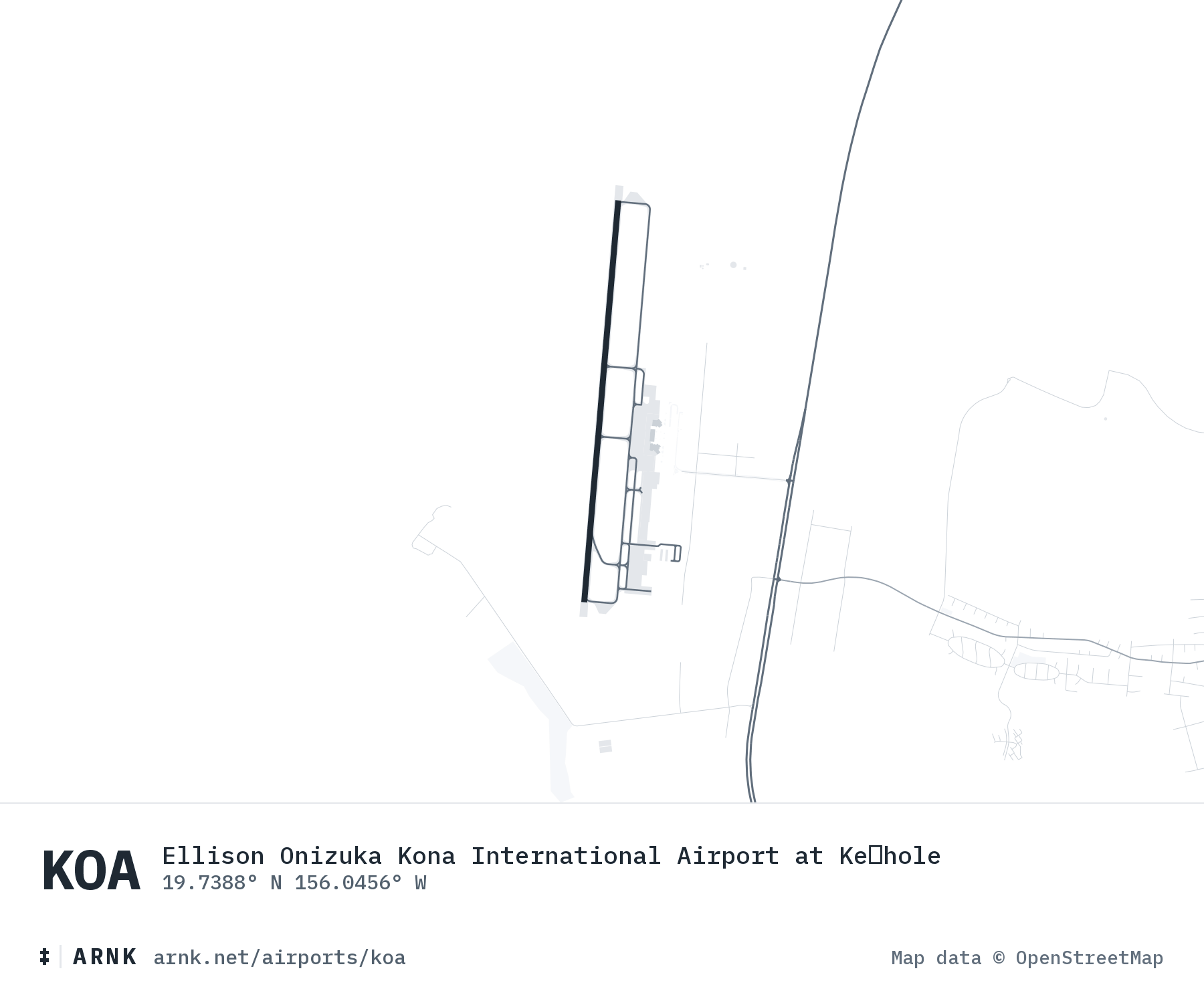
Ellison Onizuka Kona International Airport at Keāhole: runways and surrounding roadsEllison Onizuka Kona International Airport at Keāhole: runways and surrounding roads
Map data from OpenStreetMap

METAR (right now)observed , every hour

METAR PHKO 150453Z 16010G14KT 10SM CLR 27/19 A3002 RMK AO2 SLP165 T02720194
Flight rules
VFR
visual conditions
Wind
10 kt
from 160°, gusts 14
Visibility
10+ mi
unrestricted
Temperature
27 °C
81 °F
Dew point
19 °C
62% humidity

Sky Clear.

TAF (forecast)issued , through

TAF PHKO 150255Z 1503/1606 32008KT P6SM FEW040 FM150400 VRB04KT P6SM SCT040 FM152100 22009KT P6SM FEW040 FM160400 VRB05KT P6SM FEW040
Column width is hours, HST. The band is flight rules: visual, marginal, instrument, low instrument, from light to dark.
  1. to
    VFR
    A few at 4,000. NW 8. 6+ mi.
  2. to
    VFR
    Scattered at 4,000. Variable 4. 6+ mi.
  3. to Sun
    VFR
    A few at 4,000. SW 9. 6+ mi.
  4. to Sun
    VFR
    A few at 4,000. Variable 5. 6+ mi.

2026