American’s Automated Bag Check Splits Passengers (thetravel.com)
American Airlines’ end-to-end self-service bag drop at Grand Rapids’ Gerald R. Ford International Airport requires passengers to use separate kiosks to… more
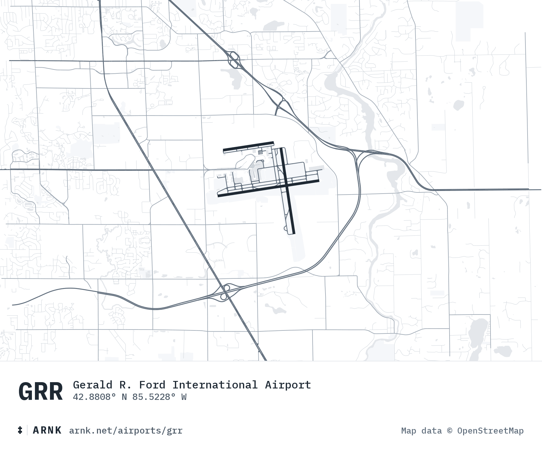
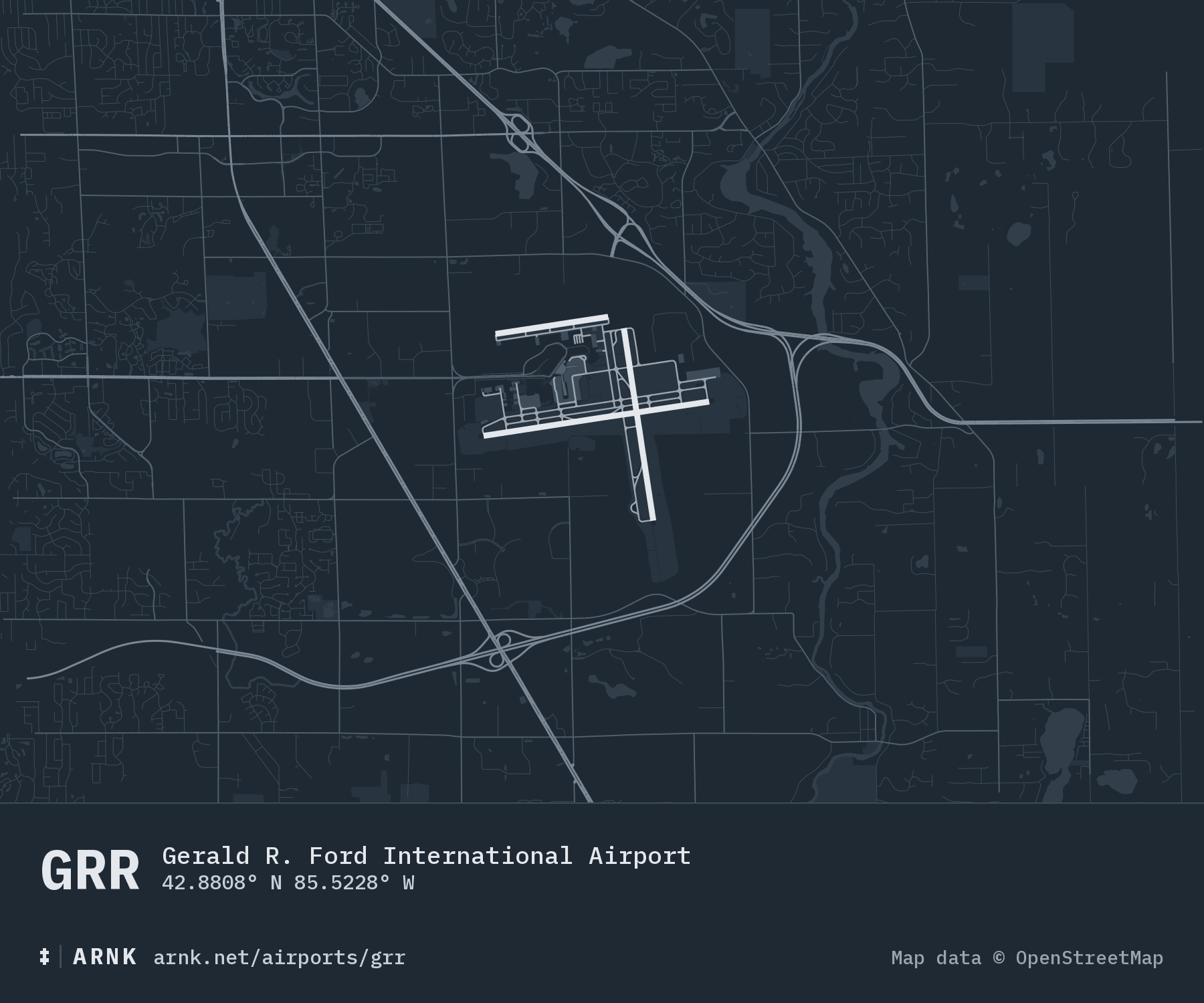
Gerald R. Ford International Airport42.8808° N 85.5228° WGrand Rapids, United States
METAR KGRR 130053Z 01013G22KT 10SM -RA OVC014 04/02 A2991 RMK AO2 RAB32 SLP134 P0000 T00390022
Sky Overcast at 1,400 feet. Ceiling 1,400.
TAF KGRR 122346Z 1300/1324 01013KT P6SM VCSH OVC017 FM130300 35006KT P6SM SCT025 BKN080 FM131300 01007KT P6SM FEW035 BKN100 FM132300 35005KT P6SM SCT060
American Airlines’ end-to-end self-service bag drop at Grand Rapids’ Gerald R. Ford International Airport requires passengers to use separate kiosks to… more